Wednesday, August 9, 2017

Across The Atlantic

We said goodbye to Al and Tess, dropped our mooring and set out from Brigus Bay at 09:30 and started the expected 1700 mile passage to Cork, Ireland.  The first day of a passage is always interesting as you have days, sometimes weeks to go, and you never really know what the days will bring - maybe it will all be smooth sailing (probably not) and maybe we will have a major issue with the boat (hopefully not), what is our plan B?, what type of traffic will we see? - so many questions to be answered.  

When we first left, our weather router suggested that we try to outrun the first LO pressure system by maintaining a 6 knot average speed.  So we left the coast of Newfoundland to our stern, motor sailing to maintain speed and the fog settled in for what would end up being a week.  As it grew darker the first night, the wind continued to increase over 20 kts and we finally were able to turn off the motor.  

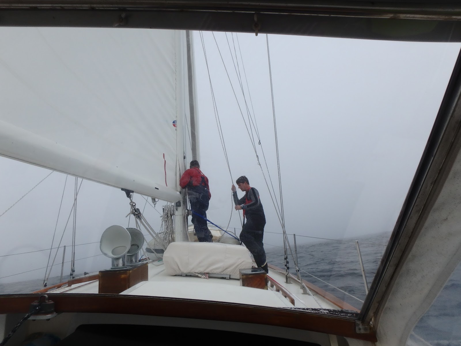
Though the fog hadn’t lifted, the wind continued to increase over day two and three and the squalls arrived.  We couldn’t see anything past our bow so we turned on the radar and would reef the sails as the squalls inched closer.  We emailed our weather router who suggested that we wouldn’t be able to reach the east side of the gale (200 nm) so it would be better to slow down and let it pass to the north of us.  So we slowed to 1.2kts and though the waves were a bit rolly, it was better than sailing into a gale.  We were actually going so slow, that a Russian freighter hailed us on the vhf to make sure we were okay.  Why would you be in the middle of the Atlantic only making 1 knot?  Just waiting on weather...

The barometer continued to drop and we were sailing via instruments as the fog still surrounded us.  By day six, the weather router confirmed what we learned from the weather forecast we had downloaded that another gale was due to arrive and we probably couldn’t avoid this one but the further southeast we were able to get, the lighter the winds, relatively speaking, would be.  So we sailed as fast as Terrapin could go without beating her up.  At one point, we even motorsailed for maximum speed.  By time the gale went over, we had 45 knot winds sustained, categorized on the Beaufort Scale as a STRONG GALE, and a 12-hour average of about 35 knots.  The gale passed overnight so we couldn’t see the waves but as soon as the sun came up and the gale had passed, the conditions had settled to approximately 15-18 foot waves so one can only guess what they were during the front.  

Though the following day was overcast, there was a bit more light and the fog was starting to lift.  Since Terrapin had been “stirred” around in the gale, there was water that had found its way into every possible crevice - ports, chainplates, hatches, etc..  We spent the next day drying out anything we could to make things more comfortable down below.  Also, during the gale, our starboard flag halyard and rigging lines that run from the mast, had wrapped around not only the mast but the port side spreader and the top of the reefed mainsail.  So Baxter had no choice but to go up the mast while we were underway.  If he didn’t go up, we would not be able to use the mainsail.  Dan winched Baxter up as I tailed and we were all very cautious to ensure that our fatigue and the rolliness of the 5 ft waves would not lead to any careless mistakes.  

Since we were 300 miles south of our intended route, we were looking for the opportunity to turn northeast towards Ireland.  Days 10 - 12 were spent going from 35kts sustained to 20kts back up to 30kts and waves from 8 ft to 18 feet as we watched gales come and go.  Our opportunity for turning to Ireland kept getting smaller as we moved along a course of 090 degrees (east).  The next day as we downloaded the weather, a huge gale appeared in the forecast - right between our position and Ireland.  Our dilemma became do we continue moving east to Spain on a more conservative route or sail into a gale forecasted to be near Ireland as we make landfall.  As this would be a new harbor with big tides and we were still tired, we opted for a more conservative decision to head to La Coruna, Spain.  Another factor was that if we went to Ireland,  speed would be critical to limiting our exposure in the gale.  If we were slower than an average of 6.5kts, we would be in the stronger part of the gale for a longer period of time.  If we went to Spain, we could rest, dry the boat, and then look for a weather window to Ireland.  

Because the gale near Ireland was so large, it took the wind near the Bay of Biscay and our course to Spain required motoring for 2 days.  We took the opportunity of a flat boat to cook decent meals, watch movies, eat popcorn, dry things out more, watch dolphins from the bow and make chocolate cake for dessert.  I definitely prefer to sail than motor - but it was pretty nice to be spoiled before we made landfall.  

On the morning of day 15, with an amazing sunrise, we were able to spot the tops of the mountains in Spain.  Of course, Kala could smell land long before we could see it.  When we finally spotted it, she looked at us as if to say - “that’s what I have been telling you!”  Throughout the entire day, pods of Atlantic common dolphins were numerous and bobbed, weaved and jumped all around Terrapin.


We arrived too late in to the marina to check into the country and the rules are that you cannot get off the boat until you have been cleared by customs.  Kala did not understand the rules and was not happy with us - at all.  She thought 15 days of being on the boat was definitely enough, we must just be torturing her.  Nonetheless, we uncorked the champagne and celebrated a well-traveled adventure across the Atlantic.  

Boat speed = mileage per day = how many days across
Beautiful Brigus Bay
Dropping the mooring in Brigus Bay
Rounding Cape St Francis heading to Ireland
Baxter fixing leaks during a squall
Keeping Kala company in a snuggy bunk
Quick pic the morning after the 45-knot Strong Gale
Baxter trying to fix the rigging without going up the mast
Salt crystals on the winch means waves crashing into the cockpit
Daddy...how much farther?
The LO that helped us decide to route to Spain instead of Ireland

Finally spending a day in the cockpit
Sun came out for a quick sunset shot
Dead downwind with Jib only
Relaxing in 8 ft waves
Traffic in the separation zones off the Iberian Peninsula
Pods of dolphins welcoming us to Spain!

Monday, August 7, 2017

Conception Bay


We untied from our multi-way tie up in St John's harbor and headed north.  Al and Tess had just returned home from the winter in the Caribbean and had plans to meet up with a group of friends - and they invited us to come along.  Who can say no to a good Newfoundland party?

As we motor-sailed up the east coast of the Avalon Peninsula, we saw whales and puffins and it was a beautiful day.  We rounded Cape St Francis and headed to Middle Arm.  The water was mirror calm and the scenery - unbelievable!

As we arrived in Middle Arm, Al and Tess had several friends who were already on moorings and we all either rafted up together or grabbed a mooring and the party began!  We ran Kala to shore and then joined Ruthanne and Gary on their boat, Alibi, for drinks and appetizers.  Ruthanne and Tess had made food that looked beautiful and tasted even better.  Afterwards, the party moved to Wayne and Crystal's boat house that they generously share with cruisers in Middle Arm.  The party continued past midnight and Baxter and I were still lacking sleep from the passage from Halifax so we said goodnight and left Dan, Al and Tess to discuss the universe (literally) and all that goes with it.

The next day, Al and Tess generously borrowed a car to go get their car from Tess' house.  They drove us around Newfoundland provisioning at Costco, fueling jerry jugs full of diesel and refilling our propane, and stopping for a picnic on Signal Hill - the first location a radio signal was sent across the Atlantic Ocean.  Once we were back in Middle Arm, we were worn out.  We had one more round of sundowners aboard Terrapin and called it a night - still trying to catch up on sleep.

The next day took us to Holy Rood for the Squid Fest.  The same group of friends from Middle Arm had headed to Holy Rood the day before and all rafted up again.  It was another great party and so many wonderful Newfoundlanders to meet and share rounds of stories.  We felt so grateful to have hosts like Al & Tess who shared these great people with us.

After Holy Rood, we headed to Brigus Bay.  The scenery in Brigus was unbelievable!  The granite rocks, the bays that are hidden until you're right next to them...we could have stayed for a week.  As we checked the weather, it finally looked like the next day would be our weather window to leave for Ireland.  We messaged our weather router who confirmed the weather looked good and we prepared to leave for our 1700 mile passage.

Mirror calm water as we made our way to Middle Arm.
Kala watching the scenery 
Middle Arm - Wayne & Crystal's boat house that they rent out as an Air BNB as well.  
We made shingles to add to the collection
Inside the boathouse - shingles hung on the rafters
Signal Hill - high above St John's harbor
Newfie sayings.
The east coast of St John's looked like this a couple months earlier
Beautiful anchorages
Beautiful mornings on our mooring
Holy Rood - short dinghy ride to land

Al, Tess & Gary (Alibi) welcoming us to the party
Newfoundland Provincial flag
Brigus 
So glad we made it here to see this 

Kala enjoying a nice relaxing time in the grass.

Fun pub with good wifi!
Are you sure you don't want to come with us?  Last night with Al & Tess before heading to Ireland

Saturday, August 5, 2017

Valiant

In a previous post and on Facebook, we mentioned the boat, “Valiant” from Deltaville, VA (not to be confused with Terrapin being a Valiant production).  When “Valiant” pulled up along side Ingomar in St John’s harbor, it definitely seemed like the boat sat very low in the water - remarkably low.  Al on Ingomar mentioned it to the owner but they indicated they were well stocked for their intended trip to Greenland.  

The concern with a boat lying low in the water is it’s susceptibility to being rolled by a wave if the boat turns sideways to the wave.  It only takes a wave 2/3 larger than the height of the boat to roll it over (typically).

As we left St John’s, Valiant untied from Ingomar, who untied from Terrapin and Ingomar and Terrapin sailed north to Conception Bay and we assume Valiant retied to Scademia in St John’s.  That was the last we heard of Valiant until the news yesterday.  

Also, as a note, our intended route to Ireland was to sail along 50 degrees north latitude but because of the number of lo pressure systems off Greenland, we continued to divert south and ended up sailing mostly along 45-46 degrees north, almost 300 miles south of our intended course.  Iceland is approximately 64 degrees north.


As you’ll read in the article, “Valiant” was rolled in 20-ft waves  (similar to what we experienced 1200 miles south) and began taking on water.  The emergency beacon was activated and the men were rescued and the boat was abandoned.  We are glad everyone aboard “Valiant” was safe and survived the freezing temperatures of the water.  

Thursday, August 3, 2017

St John's, Newfoundland

The entrance to St John’s harbour is called The Narrows for a reason.  If you have more than one cargo ship going through the channel at a time, things can get tight.  So we called St John’s traffic and advised them we would be entering and we were cleared to go ahead.  There was no anchoring available in the harbour and within the last couple years, they have removed the docks that small private vessels would tie to so we asked where we should dock.  They suggested a pier, we confirmed and headed that way.  As soon as we tied up, we had the harbour master and customs descend on us like flies on honey.  No, we could not tie up there and have we checked in – while they were talking to us in person, we were being hailed on the vhf to move to another spot.  So, just for clarity, they said we could tie up anywhere, but just not there.  

So we moved…but there was no other open wharf space, so we tied up to “Scademia”, who was tied to “Lucky Buoy”.  Getting on and off Terrapin would require walking across three boats so I was skeptical how all this would work with Kala, but we didn’t have another choice.  Getting Kala on and off the boat turned out to not be too difficult – she’s a smart girl and we ducked and jumped over gates and on and off each boat.  It was more like doggie adventure than anything too hard.  We  left the pier and headed to check out the town.  We were ready for our fish and chips…but it was only 10:30, so we took Kala on a long walk and then tried again at noon.  

As we were eating lunch, we received a message that our friends Al and Tess on Ingomar, who we met through the Salty Dawg Rally last year and whom we climbed Mt Pele volcano in St Pierre, Martinique in February – the Al and Tess who were from Newfoundland, would be arriving in an hour.  We told them to feel free to tie up to Terrapin and we would see them when they arrived.

As Dan went off to make calls, check email, and all things ashore, Baxter and I caught up with Al and Tess on what’s been going on for the last 6 months.  Dan then received an invitation from the Canadian Navy ‘s “St John’s” to celebrate with them (yes, all of them from that boat) as they just finished a tour across the Atlantic and it was the first time they were back in Canada after seven months.  On the more tame side of things, Baxter and I had a great dinner with Al and Tess and talked about all fun things sailing and Newfoundland related.  It was great to have an insider’s perspective and we were super excited to experience Newfoundland – but a little sleep would definitely be in order.
You can tie up anywhere - just not here
So we tied to Scademia (blue boat) that was tied to Lucky Buoy in front of the cargo ships.
Terrapin is the prettiest of all
Al and Tess - 5 months after we last left them in St Anne, Martinique - tied up to Terrapin in St John's Newfoundland.
Welcome to St John's!
They even make their stair cases look nice!  St John's and Labrador is the Canadian province (map in the middle)
Hopping across boats to get back aboard Terrapin
Valiant (which sank off the coast of Iceland a few days ago) on far right tied to Ingomar (Al and Tess) tied to Terrapin tied to Scademia tied to Lucky Buoy
A warning sign for falling ICE - yeah, it gets cold here in the winter
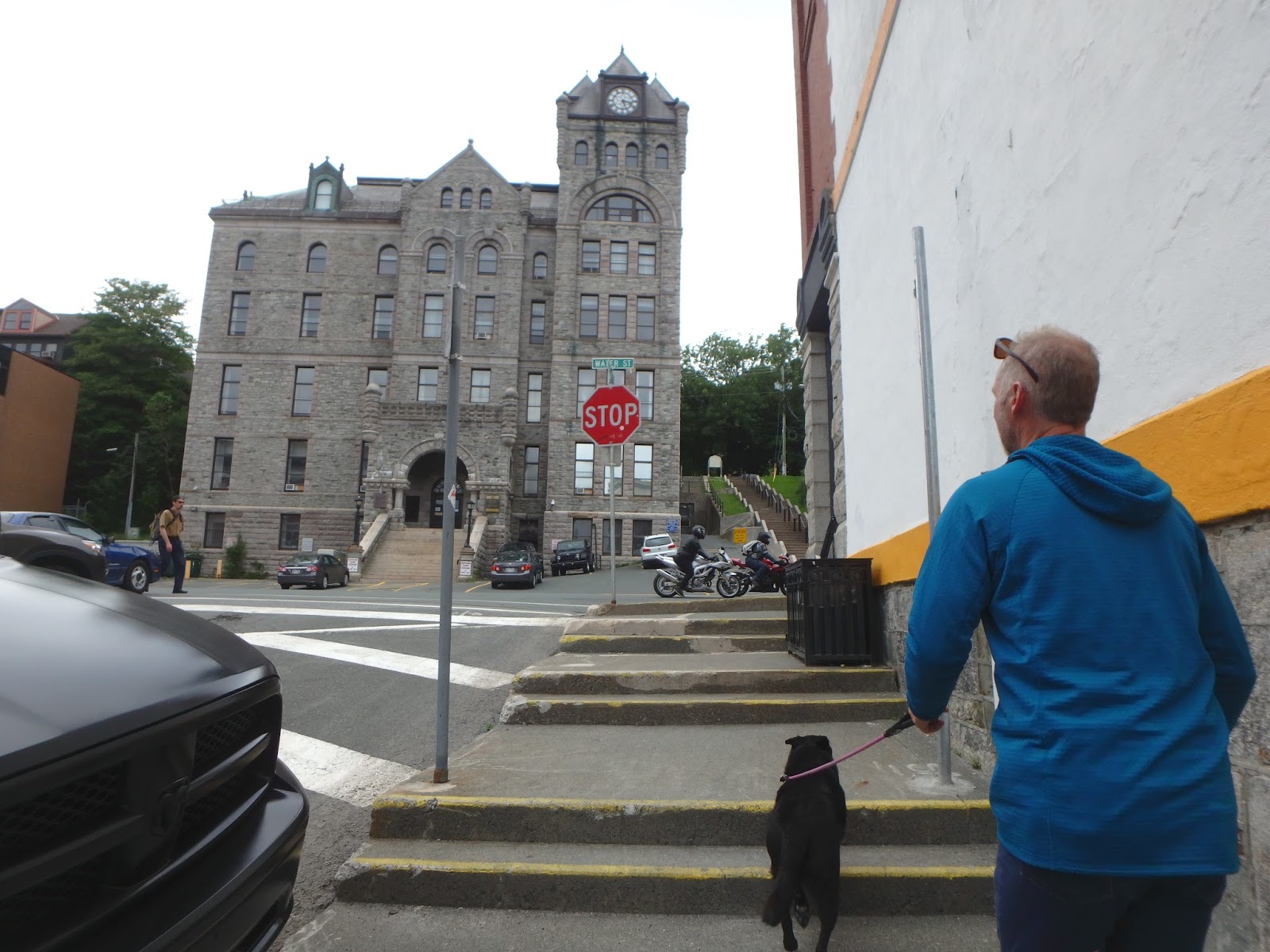
Walking the streets of St John's
St John's Anglican Church

The city's namesake church
The local seagull was pretty friendly - just like all the Newfoundlanders we met.

Nova Scotia to Newfoundland

After being in Halifax, Nova Scotia for a few days, we were ready to head to Newfoundland (pronounced New-fin-LAND; not new-fin-len or new-fun-lun.  Easy way to remember is Newfound-land, understand)?.  

It would be approximately 540 nm so we readied Terrapin and ourselves and headed out of the harbour.  The skies were gray as we moved into the Atlantic and the fog settled around us.  We had fog and fog and more fog.  There very well could have been a hundred humpback whales breeching around us and we wouldn’t have known.  We liked to think they were there.

We also had fishing boats that would have a very close CPA (Closest point of approach) of less than 300 feet.  Since these boats could be dragging nets or have lines in the water we would hail them on the vhf just to get more info and make sure they saw us – usually not receiving a response and leaving us with the only option to change course.  With the fog, it would make a night watch a bit anxious, but definitely helped the four hours go by quickly. 

Since there was so much fog we turned on our radar to see any boats that may not have AIS.  Also to see any buoys that those boats might be dropping and another reason for radar was to see icebergs.  As we were between the coasts of Nova Scotia and Newfoundland, it is common to have icebergs come down the Labrador Channel into this area.  We had a mark on our charts where the Titantic sank in 1912 after hitting one of these icebergs – it was south and east of us which meant we were definitely in range.  Now, the Titantic was out there in April and of course we had checked all the information available to see any iceberg reports or potential sites for icebergs and we should be clear – but we left the radar on, just in case. 


The last night of the passage was a spirited sail with wind gusting to 30 knots as we reached towards Cape Race and up the coast of Newfoundland at dawn.  As the sun came up, I could smell diesel (our engine wasn’t running) and hear an engine but according to AIS, there were no boats within a mile.  Twenty minutes later with more light, I could see the Canadian Coast Guard Cutter near shore.  Then we heard them report an iceberg off their starboard bow.  Baxter and I grabbed the binoculars and looked to make sure we were able to see an iceberg before we hit it.  Just as we were looking for the iceberg, we saw a bird taking off from the water flapping it’s wings furiously and then – there they were – the cutest little webbed orange feet – it was a PUFFIN!  I was so excited to see puffins in the wild.  Cutest birds on the planet and there were hundreds.  Newfoundland was going to be awesome!!

Last sunset in Nova Scotia before heading out to Newfoundland

Filled the tanks and the jerry jugs - Kala supervising and asking the dock hand if she can hang out on land with him.
Whales, whales everywhere...or so we would like to believe
Setting the spinnaker pole in the fog as we went dead downwind
This fishing boat was 800 feet away - too close at night but I'll deal with it in the daylight.
Baxter and Kala tucked in staying warm.
Since the fog kept us from seeing anything outside, we set up our watches inside at the nav station where it was nice and warm
Newly installed heater is ON!
Dawn on the southeast coast of Newfoundland - Iceberg just north of us
Good morning Newfoundland!
Puffins make us happy!!  About to pull into St John's harbor over Baxter's left shoulder